Full-text available Full-text available
|
|
|
|
|
|

Vol.53,
No.3,
PP.139-219
Content:  PDF( 0.82MB ) PDF( 0.82MB ) Editorial Scope and Editorial Board:  PDF( 0MB )
|
|
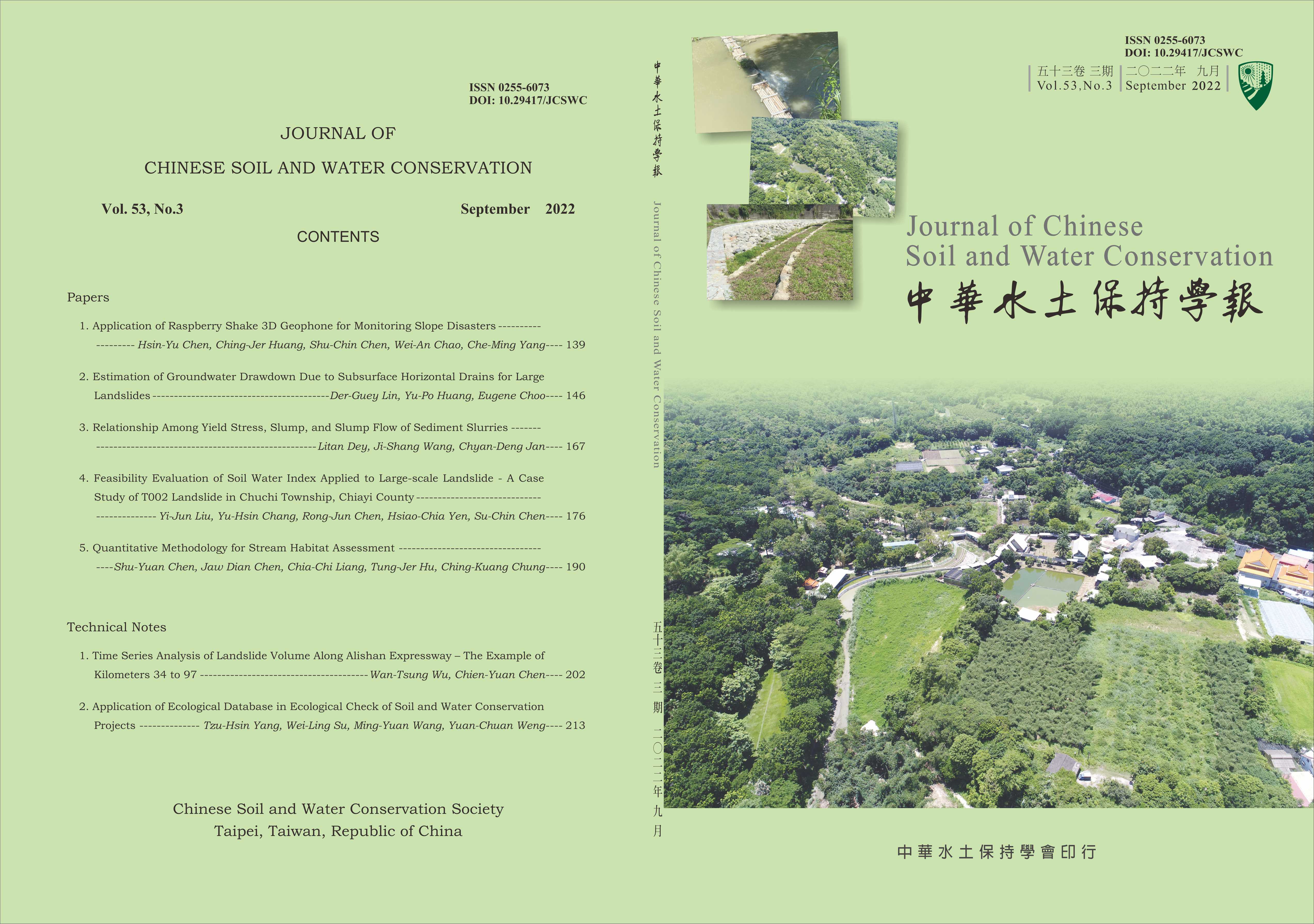
| 1 |  | Application of Raspberry Shake 3D Geophone for Monitoring Slope Disasters | | | 2 | | Estimation of Groundwater Drawdown Due to Subsurface Horizontal Drains for Large Landslides | | | 3 | | Relationship Among Yield Stress, Slump, and Slump Flow of Sediment Slurries | | | 4 | | Feasibility Evaluation of Soil Water Index Applied to Large-scale Landslide - A Case Study of T002 Landslide in Chuchi Township, Chiayi County 53(3):176-189Yi-Jun Liu[1] Yu-Hsin Chang[2] Rong-Jun Chen[3] Hsiao-Chia Yen[3] Su-Chin Chen[4] ** Corresponding Author. E-mail :  scchen@nchu.edu.tw scchen@nchu.edu.tw Show preview Show preview | PDF( 7.43MB ) | | Feasibility Evaluation of Soil Water Index Applied to Large-scale Landslide - A Case Study of T002 Landslide in Chuchi Township, Chiayi County | 
Close | | Yi-Jun Liu[1] Yu-Hsin Chang[2] Rong-Jun Chen[3] Hsiao-Chia Yen[3] Su-Chin Chen[4] * |
AbstractThe potential large-scale landslide site (No. T002) in Chuchi Township, Chiayi County, is primarily composed of shaly sandstone and siltstone shale strata. The dip angle of the strata is about 10~12 degrees to the northeast,which is characteristic of a dip slope. Generally, the large scale landslide and groundwater had close relationship.In the present study, to understand how rainfall in the study area affects slide conditions, we compared the soil water
index (SWI) with variations in the groundwater table to correlate the displacement. The results indicated that the SWI and the variations in shallow groundwater depth were consistent. The SWI can therefore assist groundwater data when lack of monitoring data are insufficient or when the data are corrupted.
Key Words: Potential large landslide, Tank model, Soil Water Index, Inclined tube, Groundwater | 〔1〕Department of Soil and Water Conservation, National Chung Hsing University, Taichung, Taiwan, R.O.C
〔2〕GOOD TECH Consultants Co., Ltd, Taichung, Taiwan, R.O.C
〔3〕Nantou Branch, Soil and Water Conservation Bureau, Council of Agriculture, Executive Yuan, Taiwan, R.O.C * Corresponding Author. E-mail : scchen@nchu.edu.tw | Received: 2021/05/18
Revised: 2021/08/09
Accepted: 2021/10/26
|
|
|
| | | 5 | | Quantitative Methodology for Stream Habitat Assessment | | | 6 | | Time Series Analysis of Landslide Volume Along Alishan Expressway – The Example of Kilometers 34 to 97 | | | 7 | | Application of Ecological Database in Ecological Check of Soil and Water Conservation Projects | |
|
|